SCHEDULERESTRICTED AREAS
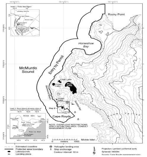
Antarctic Specially Protected Area No. 121 Cape Royds, Ross Island Lat. 77°33−S; Long. 166°10−E
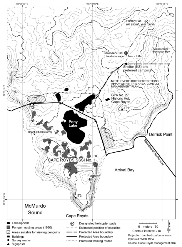
Cape Royds is situated on the west side of Ross Island, McMurdo Sound, at the western extremity of a coastal strip of ice-free land approximately 8 kilometres wide, on the west slope of Mount Erebus. The Area comprises both a terrestrial and marine component.
The marine component of the Area extends for approximately 5 kilometres from Derrick Point in the south to Rocky Point in the north, including Horseshoe Bay. The marine boundary is defined as extending NE along the Arrival Bay coastline from the most easterly corner of the terrestrial boundary at Arrival Bay to Derrick Point. From Derrick Point the marine boundary extends offshore 500 metres in a SE direction and thence extends parallel to the coast 500 metres offshore from the mean high water mark, around Cape Royds and north for 5.3 kilometres to a point 500 metres due north of Rocky Point then due south to Rocky Point.